Datanami
 EnterpriseAI
 HPCwire Japan
 QCwire
 HPC & AI Wall Street
Listen to the podcast interview with lead scientist on the project here.
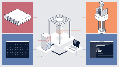
Understanding global population distributions and settlement patterns are key elements when making important risk analysis and infrastructure assessments at both global and local scales. However, one of the challenges of developing large-scale analyses of satellite imagery is being able to efficiently process and manage several petabytes of high-resolution satellite image data.
A research team from ORNL has built a computational system based on GPUs for deriving “big image data analytics” for the purposes of characterizing global population patterns, in part by extracting and classifying different categories of structures—from homes and residential buildings to those that serve industry or other purposes.
In a recent overview of their work, the team says that “computing numerical feature descriptors from raw image data is an expensive but key step in the computational process. The scale of the computational process and the need to repeat the process at time-stipulated intervals can easily saturate conventional systems.” Accordingly, their GPGPU-based system was built to employ “multi-scale feature extraction and exploit multi-GPU architectures for large-scale image analysis.”
The team says they’ve used CUDA to “harness the tremendous computational power and memory bandwidth of the GPU. The CUDA programming model conveniently allowed the processing of multiple sub-tasks in parallel over the pixel blocks at several scales.” They note that it is, however, “important to make careful choices in the data layout to fully exploit the parallel computational capabilities provided by the GPU processors.”
Other projects are targeting similar mapping efforts, including the Global Human Settlements Layer, which was developed by the European Commission’s Joint Research Center. According to the center, ‘the combined use of better spatial resolution satellite data and of an automatic pattern recognition algorithm means that we can now process massive datasets more efficiently and rapidly than ever before. It also allows regular monitoring of the changes in the patterns of human settlement landscape anywhere in the world. These advances also imply that we are able to potentially look at human settlement characteristics and patterns in more detail than previous global analysis attempts.”